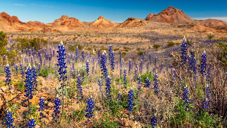
Border wall through Big Bend state park in “planning stages” as updated map includes 2-mile barrier
A map published by U.S. Customs and Border Protection shows plans for a wall near Big Bend Ranch State Park’s westernmost sections closest to the U.S.-Mexico border.
1 across the spectrum. Choose a side on the bar to jump to it.
5 articles from 1 source. Updated Jul 4, 2026.
Part of Trump's border wall in Texas's Big Bend region and the fight to stop it
Left
0 sourcesNo Left coverage yet.
A blind spot on this side of the story.
Center
1 sourceRan by 3 outlets· KENS 5 San Antonio, KCEN Waco, +1 more
Ran by 2 outlets· WFAA Dallas, KHOU Houston
Right
0 sourcesNo Right coverage yet.
A blind spot on this side of the story.